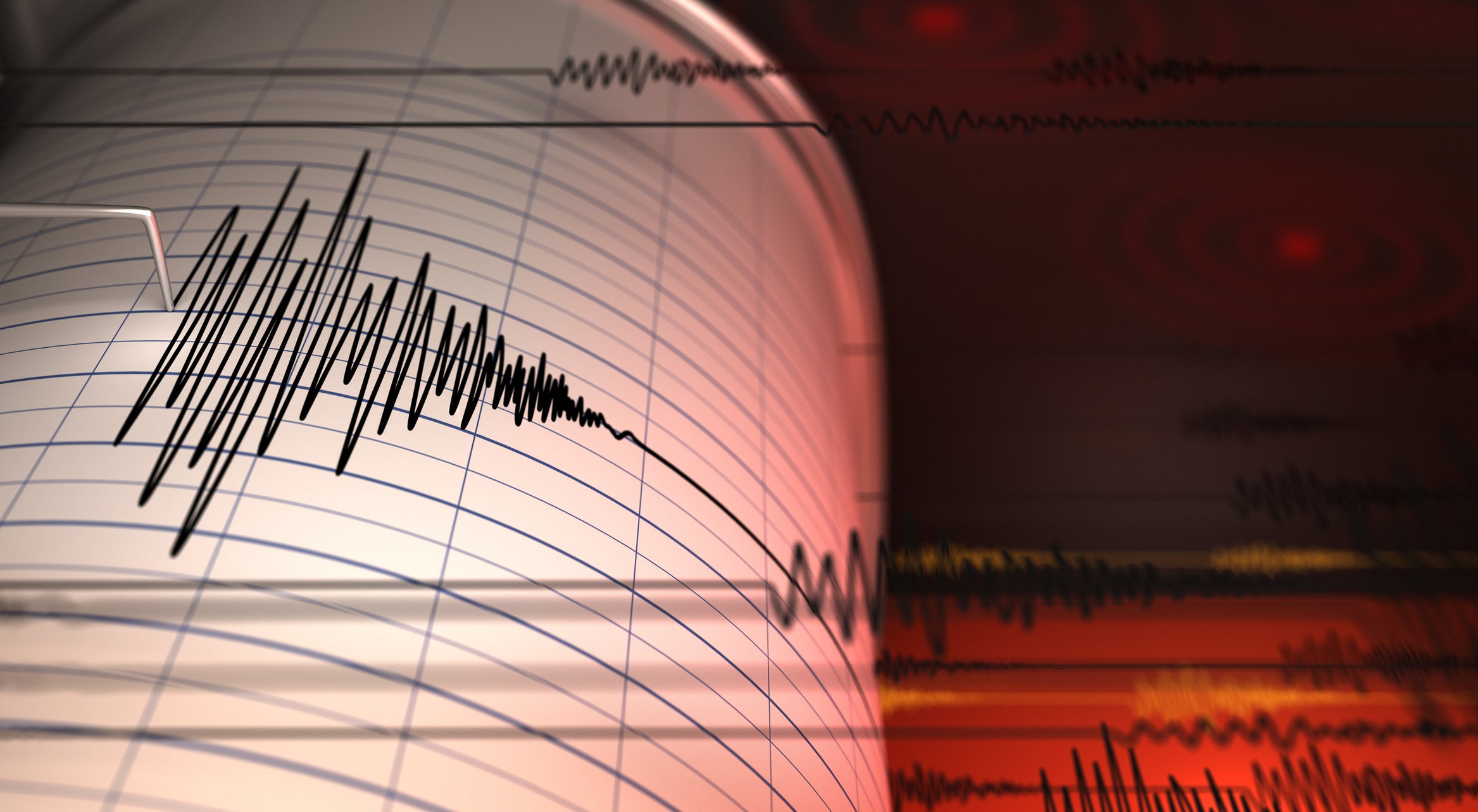
Researchers at UC Riverside have developed a method to identify potential locations of significant earthquakes, enhancing disaster preparedness in high-risk seismic regions. This innovative approach focuses on areas where tectonic stress accumulates over time, particularly in subduction zones, where one tectonic plate slides beneath another.
The team’s method uses GPS data to pinpoint “locked” regions of faults—areas that resist movement until enough strain builds up to trigger an earthquake. Their research, published in Geophysical Research Letters, successfully indicated a locked zone in Russia’s Kamchatka Peninsula prior to a large earthquake there, demonstrating the effectiveness of their model.
While the team cannot predict the exact timing or tsunami size from these earthquakes, their findings are crucial for understanding seismic hazards. They are now examining other major subduction zones and investigating California’s fault systems, where understanding gradual energy release is key.
Efforts to improve data collection, such as using seafloor acoustic instruments and new satellites, are essential for enhancing earthquake forecasting. Ultimately, the researchers emphasize that while predicting exact earthquakes is not possible, identifying where they are likely to strike can significantly aid in preparation and response efforts.