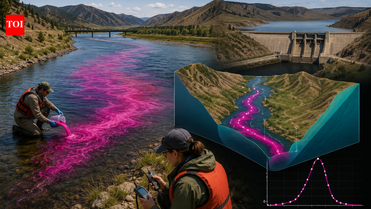
The U.S. Geological Survey (USGS), in collaboration with the Montana Department of Environmental Quality, conducted a dye-tracing experiment on a 41.2-mile stretch of the Missouri River in 2010 to enhance understanding of contaminant movement in waterways. They released rhodamine WT dye at two points and monitored its downstream progress, yielding insights into how quickly contaminants could travel.
Key Findings:
-
Travel Variability: The dye’s travel speed varied significantly across different river sections. The median velocity was 2.87 feet per second, with some areas, like the section near Toston Reservoir, witnessing much slower movement at 0.80 feet per second.
-
Dye Residence Time: In Toston Reservoir, the dye remained for approximately 8.2 hours, illustrating how certain river structures can retain contaminants longer.
-
Dispersion Rates: The study also measured how the dye plume spread longitudinally, with dispersion rates ranging from 0.72 to 2.26 feet per second, indicating that pollutants can disperse over extensive areas rather than staying concentrated.
-
Application for Spill Response: The data gathered assists local authorities in preparing for accidental contaminations by providing estimated timelines and concentration levels for contaminants traveling down the river.
This real-world experiment highlighted complexities involved in predicting contaminant movement in river systems, contributing valuable information for water quality management and emergency response strategies.