Lower Rain Chances Sunday As Invest 91L Meanders West
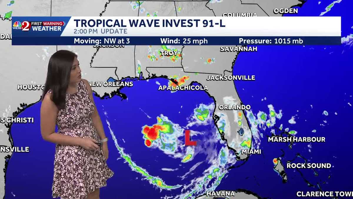
Invest 91L was tagged today, and the chances for its development have increased throughout the day, with a 40% chance over the next two days and 50% over the next week. This broad area of circulation is currently located in the eastern Gulf. Despite being a very disorganized system, it has shown some improvement with more convection wrapping around an area of low pressure.
Over the last several hours, the system has begun to overcome the dry air to its north, suggesting potential for it to strengthen. If it can consolidate, we could see our next tropical depression or even tropical storm within a couple of days. With models indicating a wide range of possible paths, some suggest a westward movement towards Louisiana and Texas, while others point towards a west-northwesterly route affecting Mississippi and Alabama, or even a due north trajectory towards the Florida panhandle.
Impacts on Florida
For Florida, particularly the panhandle, significant rainfall is expected if the system tracks north. However, if it proceeds westward, it may linger over warm Gulf waters, increasing its strength. Fortunately, as it meanders to the west, Central Florida can anticipate a reduction in moisture and minimal rainfall for the coming week.
Weather Forecast
- Current Conditions: Quiet night in Central Florida with some cloud cover.
- Sunday Outlook: High near 92°F with increasing clouds and only a 40% chance of showers and thunderstorms.
- Next Week: Drier conditions expected, pushing temperatures into the mid-90s.
Overall, while Invest 91L’s path and intensity remain uncertain, its movement west will keep most rain away from Central Florida, resulting in warmer, drier conditions.