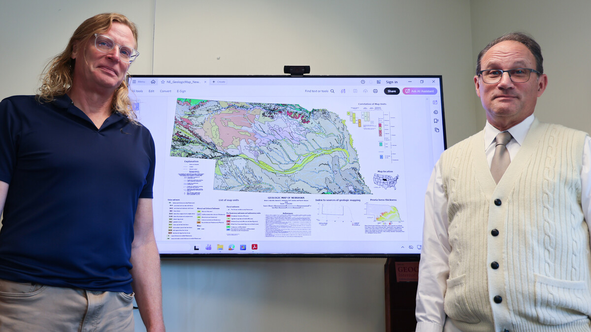
This article highlights a major achievement in geological mapping by Paul Hanson and Matthew Joeckel from the University of Nebraska–Lincoln. They created a detailed surficial geologic map of Nebraska, marking an important advancement in understanding the state’s geological features.
Key Points:
- Project Overview: The project aimed to produce a consistent statewide map of Nebraska’s surficial geology, utilizing modern mapping tools and a collaboration with the U.S. Geological Survey (USGS).
- Importance of New Linework: The term “new linework” indicates improved delineation of geological features, particularly watershed boundaries, which is essential for various applications such as water management and resource location.
- Geological Insights: The study revealed that over 75% of Nebraska is covered by wind-blown sediments, highlighting the significance of wind and historical geological processes.
- Technological Tools Used: The mapping utilized geographic information systems (GIS), LiDAR data, and remote sensing technologies to compile and reconcile decades of scattered geological data.
- Practical Applications: Accurate geological mapping assists in groundwater management, construction, and understanding soil types, which have direct implications for irrigation and industry.
Future Prospects:
The map serves as a basis for finer-scale studies and has the potential to enhance further geological research in Nebraska through continued technological advancements in mapping and surveying.
Conclusion:
The collaboration between the USGS and the University of Nebraska–Lincoln exemplifies how geological mapping can integrate historical insights with contemporary needs, paving the way for informed decision-making regarding the state’s natural resources.