Summary: 2026 Tropical Cyclone Season Update
The 2026 tropical cyclone season in the northeastern and central Pacific basins has been notably active. As of September 28, 20 named storms have formed, with nine achieving hurricane status, surpassing the average of 13.5 named storms and 7.4 hurricanes for this date over the 1991-2020 period.
Key Storms
-
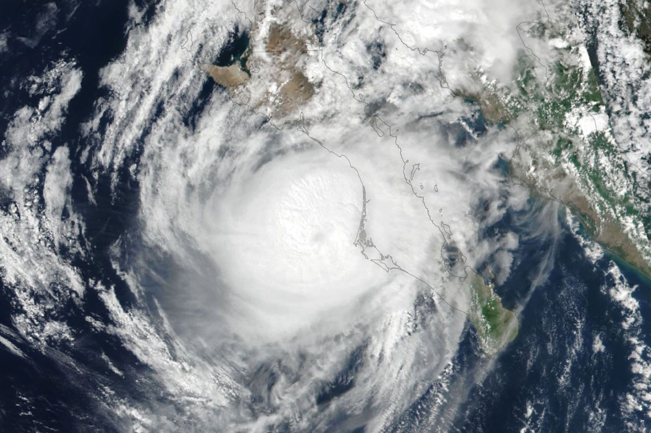
Hurricane Polo: This category 5 hurricane underwent rapid intensification prior to landfall in Baja California Sur on September 28, later making a second landfall near Guaymas as a weakened category 2 storm. The National Hurricane Center (NHC) warned of dangerous conditions, including high winds and potential flooding from heavy rains in southwestern U.S. and Mexico.
-
Hurricane Nolo: While it did not make landfall in Hawaii, it brought over 12 inches of rain to parts of Maui, causing road flooding and landslides, albeit with less impact than Hurricane Lala in August.
Impacts and Forecasts
The remnants of Hurricane Polo, coupled with moisture from Post-Tropical Cyclone Odalys, are expected to contribute to ongoing heavy rainfall and flood risks in the southwestern U.S. and southern Plains over the following days. Additionally, Tropical Storm Rachel is forecasted to bring strong winds and dangerous surf conditions along the southwest Mexico coast.
Meteorological Overview
As of late September, accumulated cyclone energy in the Northeast Pacific is reported to be over twice the normal levels. This increase is correlated with ongoing El Niño conditions, which typically enhance tropical cyclone activity.
Response and Resources
NASA’s Disasters Program, alongside FEMA, is actively responding to Hurricane Nolo’s impacts in Hawaii, providing mapping and data through their online portal.
For detailed storm information, satellite imagery, and additional resources, please refer to the following links:
- Real-Time Northeast Pacific Ocean Statistics
- Hurricane Nolo Advisory Archive
- Hurricane Polo Advisory Archive
(Images from NASA Earth Observatory)