Heavy Rain Threat Shifts Toward Gulf Coast from Invest 91-L
Track The Tropics with Meteorologist Victoria Wisniewski
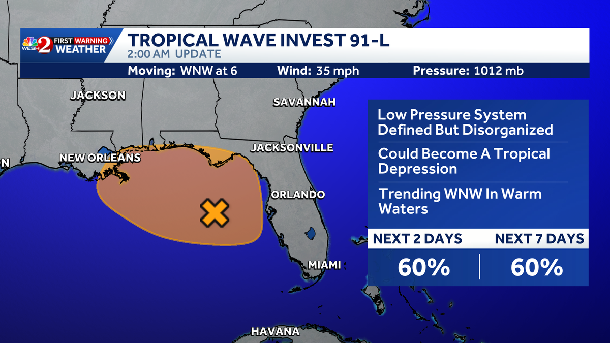
Good morning, Gail! We’re monitoring Invest 91 as it develops, and as of the 2 a.m. update, the chance of development has increased to 60% over the next two days and the next week. The system is shifting north and west, becoming more defined but still disorganized.
Current Situation
- Development Chances: Increased to 60% for tropical depression or storm.
- Movement: The system is tracking away from Central Florida but could still bring storms to areas like Tampa and Sarasota.
- Local Weather: Expect showers and storms later today, particularly in outer bands.
Upcoming Impact
Rain chances have dropped, but disorganized showers and thunderstorms are still moving north and west. Expect:
- Tampa Bay Activity: 40% coverage of rain expected late afternoon into evening.
- Earliest Storms: Anticipated by 5 p.m.
Tropical Update
We’re observing some circulation definition in Invest 91-L, likely to be named Bertha as development chances increase. The Hurricane Hunters will investigate the system at 2 p.m. today, focusing on potential heavy rain impacts for the Florida Panhandle, Alabama, Louisiana, and Mississippi.
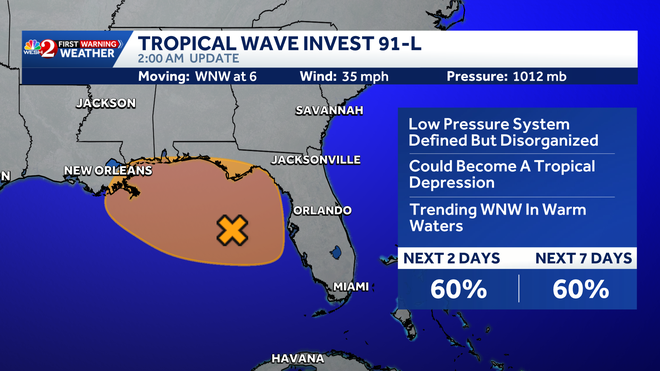
2AM Update
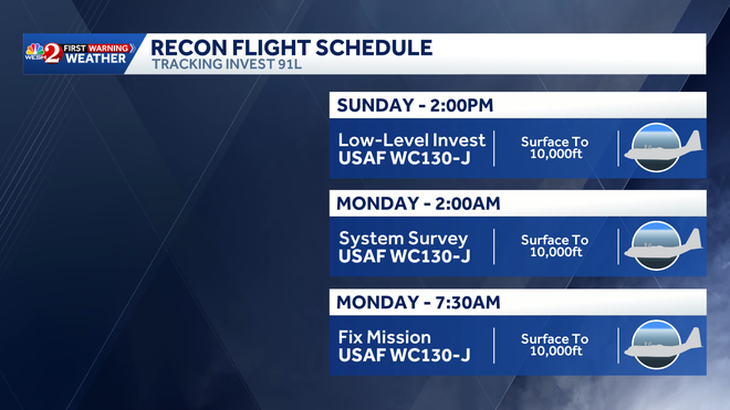
Hurricane Hunters schedule
Stay tuned for more updates as we continue to track this developing storm!