When venturing out for a hike, preparation is key. Always check trail conditions in advance and pack more water than you think you’ll need. Hiking poles can come in handy, especially on slippery terrain after rain. If you’re planning a sunset hike, don’t forget a headlamp to light your way back down.
Exploring Montara Mountain, Montara
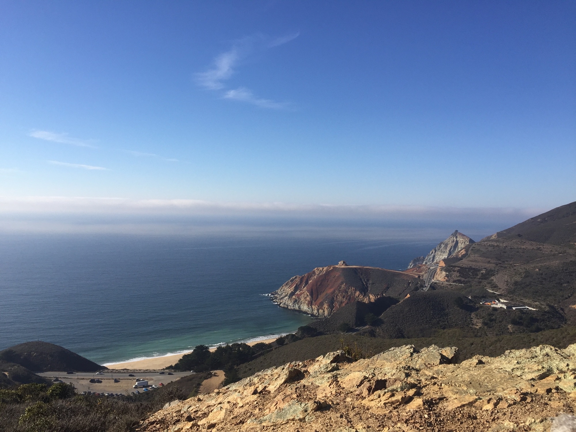
There are multiple routes to reach the summit of Montara Mountain. You can start from Pacifica’s San Pedro Valley County Park (entrance fee: $6), Highway 1 near Grey Whale Cove Beach (limited parking, no fee), or from Pedro Mountain Road or Corona Street in Montara.
The Pacifica route is slightly shorter but more challenging. The Highway 1 path offers fantastic views of the farmland, the rugged Devil’s Slide, and the Tom Lantos Tunnel.
The initial miles feature a gentle incline often shrouded in fog, but soon you’ll ascend above the clouds to reveal breathtaking views of the Pacific Ocean. There are benches along the way for breaks, and remember, as you descend, the views might even surpass those on the way up. Keep an eye out for the Farallon Islands on clear days!
Statistics: 7-10 miles, 1,700 feet of elevation gain.
Important note: This trail accommodates both hikers and mountain bikers, so stay alert on turns. Bring sun protection as well as layers; poison oak lurks in some areas, and shade is limited.
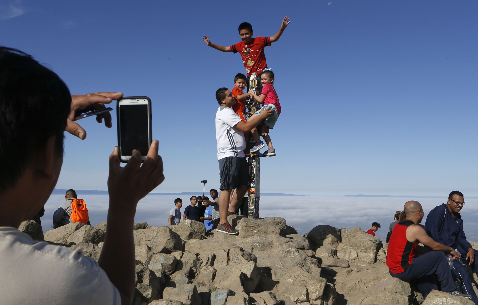
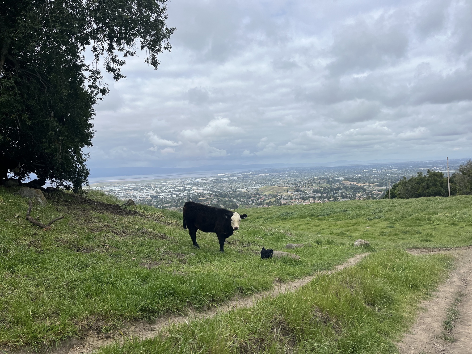
Conquering Mission Peak, Fremont
Be prepared for a workout on Mission Peak, known for its relentless uphill path which will test your stamina. This popular trail features two parking options: the free but limited Stanford Staging Area, or Ohlone College, where parking is $4 and more plentiful.
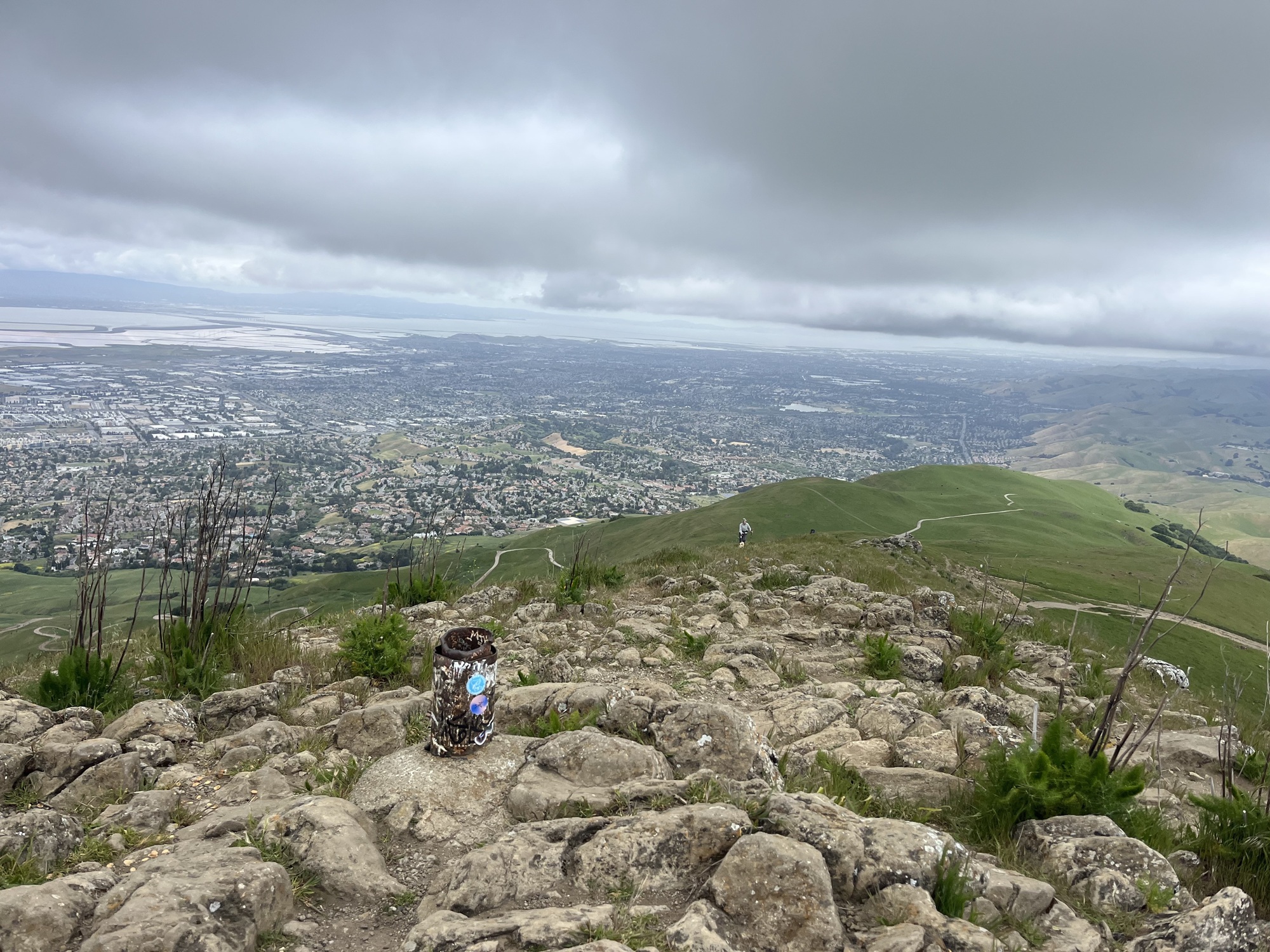
The initial part of the trail may seem manageable, but as you navigate through numerous switchbacks, the challenge intensifies. The last stretch is particularly difficult as the terrain shifts to a slippery, steep incline. However, reaching the summit rewards you with panoramic views of the South Bay and the East Bay hills—definitely worth the effort. You might even catch a sight of paragliders soaring in the distance!
On your descent, it’s gratifying to encourage those still making their way up!
Statistics: 6 miles, 2,100 feet of elevation gain.
Important note: There’s no access to water or shade along this trail, so you’ll need at least two liters of water per person. If you bring your dog, be especially vigilant about hydration, as heat-related issues can arise easily on this trail.
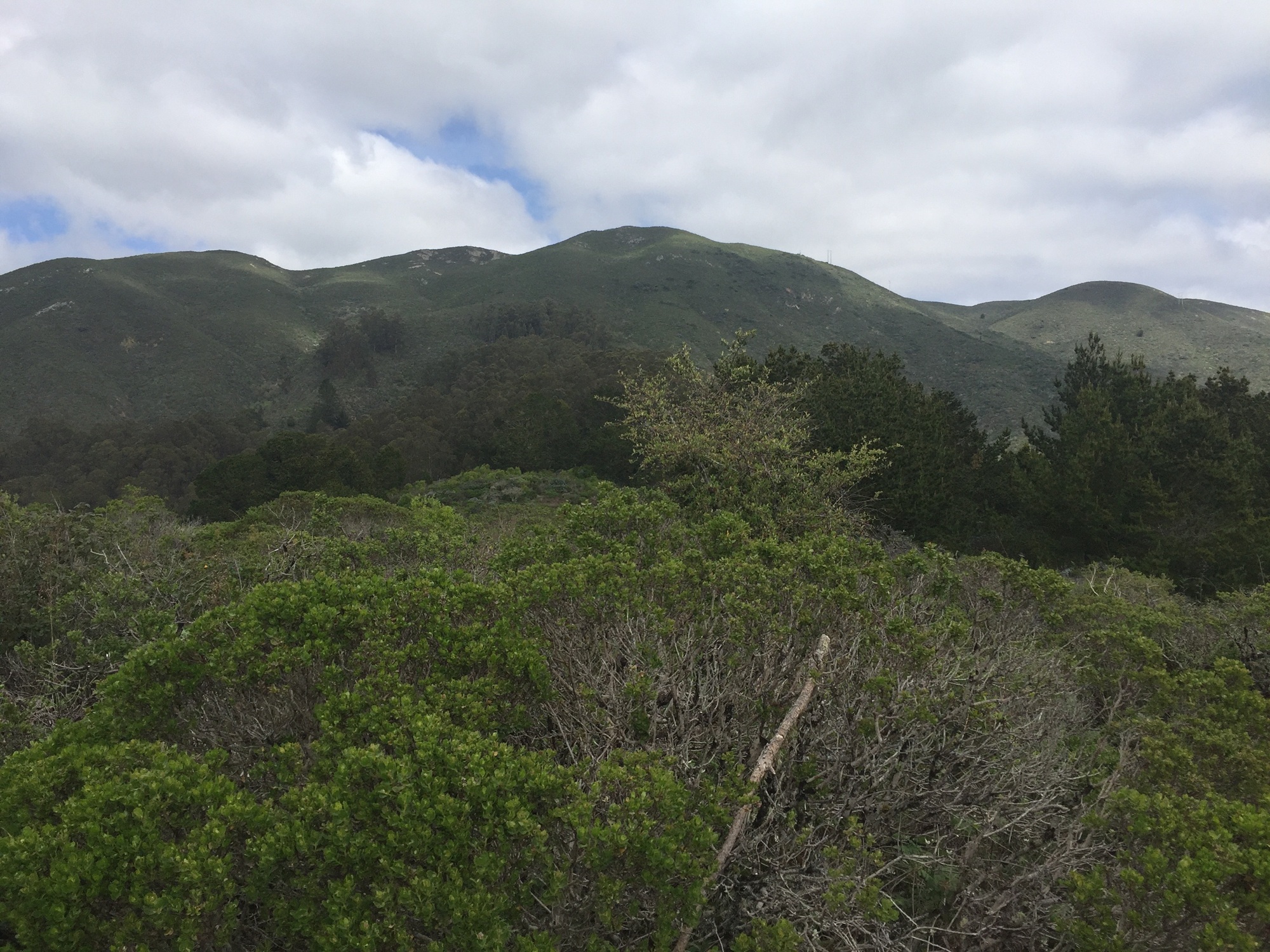
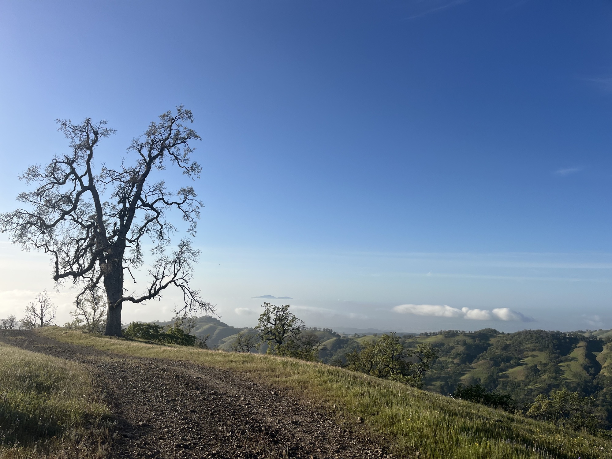
Unraveling Rose Peak, Livermore
For those seeking a serious challenge, the trek to Rose Peak fits the bill. Whether training for a summer Sierra trip or simply testing your limits, this hike offers a rewarding experience.
The centerpiece of the Ohlone Wilderness Regional Preserve, Rose Peak rises to 3,800 feet and is populated with wildlife, providing a true escape. Expect a demanding day ahead; whether you begin at the Sunol Wilderness Regional Preserve or Del Valle Regional Park (each with a $5 parking fee), prepare for nearly 20 miles with an elevation gain of 4,000 to 5,000 feet.
Equip yourself with the right gear, stay hydrated, and pace yourself, and these hikes can transform your fitness journey. Happy hiking!