The United Nations has overwhelmingly supported an initiative to alter how global maps portray regions, particularly addressing long-standing distortions that downplay Africa’s actual size.
On September 4, 2026, the UN General Assembly voted 164-1 in favor of the “Correct the Map” resolution, advocating for the use of equal-area projections when evaluating relative geographic size. Togo introduced the resolution on behalf of the African Group, with backing from the African Union. Togo’s Foreign Minister Robert Dussey emphasized that a fair map influences perceptions and shapes how continents and populations are understood.
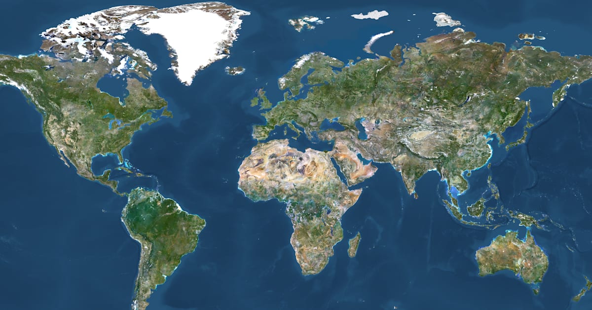
The resolution targets the Mercator projection, a 16th-century map style that distorts sizes, enlarging areas near the poles and minimizing regions like Africa, which is roughly 14 times larger than Greenland yet appears similarly sized on many Mercator maps. French Foreign Minister Jean-Noël Barrot pointed out that countries like the U.S., Russia, and China visually dominate these maps compared to Africa and other regions.
In alignment with this initiative, France plans to move away from the Mercator projection, considering alternatives like the Equal Earth projection, which maintains relative surface areas while preserving recognizable shapes.
The U.S. voted against the resolution, citing objections to terms like “reparations” and “cognitive justice,” and criticized the focus on maps from the 16th century over more pressing matters. Meanwhile, six other countries abstained. The African Union had previously adopted the Equal Earth projection among its member states in February, and this UN vote brings the effort to reshape cartography to a global audience.