Understanding Streamflow Drought Forecasting With USGS River DroughtCast
In a world where water resource management is critical, the USGS River DroughtCast tool stands out for its innovative approach to predicting streamflow droughts. This advanced system harnesses the power of machine learning to project when rivers and streams may drop to dangerously low levels, greatly influencing water availability even after normal rainfall returns. Below, we delve into how this tool operates and its implications for various stakeholders.
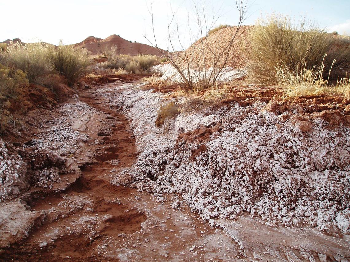
The River DroughtCast tool precisely forecasts streamflow drought, a phenomenon where rivers and streams experience significantly below-normal water levels for prolonged periods. Unlike traditional meteorological droughts, which are defined by a lack of rainfall, streamflow droughts are influenced by various factors, including soil moisture, snowpack, and groundwater levels. These complexities make predicting streamflow droughts particularly challenging, yet it is essential for effective water resource planning.
Utilizing more than a century’s worth of streamflow data, the USGS River DroughtCast employs machine learning models created from data gathered from thousands of USGS streamgages, some of which have maintained continuous records for over 100 years. “The USGS is harnessing a century’s worth of data in a groundbreaking way, using machine learning techniques to anticipate streamflow drought conditions weeks in advance,” stated John Hammond, project manager for the drought forecasting system at USGS.
Users can select forecast lengths ranging from one to thirteen weeks, with predictions particularly reliable within the first four to six weeks. In the initial week, predictions accurately forecast severe or extreme drought conditions approximately 75% of the time, while that reliability decreases to around 55% by week 13. Confidence estimates accompany all forecasts, providing users insights into the reliability of predictions over varying time periods.
The River DroughtCast tool effectively bridges the gap between short-term weather forecasts and long-term seasonal water supply outlooks. Farmers utilizing surface water for irrigation can adjust their planting schedules and crop choices accordingly. Municipal water managers can implement more effective conservation measures, and recreation operators can prepare for potential impacts on activities such as fishing and boating.
Currently, River DroughtCast offers forecasts for more than 3,000 USGS streamgage locations, each with at least 40 years of historical data. Developers are actively working on the next version to expand access to areas without streamgages and enhance forecast accuracy even further.
USGS scientists have a long history of employing artificial intelligence to improve the efficiency and quality of their work, driving advancements in areas ranging from critical mineral mapping to earthquake detection and identifying invasive species. In alignment with Executive Order 14179, aimed at enhancing American leadership in artificial intelligence, and Secretary’s Order 3444 focusing on the integration of AI into various business practices, the USGS has released its AI Strategy, aimed at fostering responsible and innovative usage of AI in scientific endeavors.
Conclusion
The USGS River DroughtCast tool represents a significant advancement in forecasting streamflow droughts, offering crucial insights that can aid various sectors in preparing for and mitigating water scarcity challenges. As the tool continues to evolve, it promises to enhance our understanding of water resources and promote smarter management strategies for a sustainable future.